
East Baton Rouge ZIP Coverage
The EBRGIS layer contains 27 ZIP polygons. Its descriptions include Baker, Clinton, Greenwell Springs, Jackson, Pride, Slaughter, Zachary, Central, and many Baton Rouge codes. A polygon is the parish's best available mapped ZIP area, not a list of USPS delivery routes. Query the geometry for an exact site and use USPS to standardize a mailing address.
| ZIP Code | Areas Covered | Post Office | Notes |
|---|---|---|---|
| 70714 | Baker description | Baker postal area | Check city limits separately |
| 70722, 70748, 70777 | Clinton, Jackson, Slaughter descriptions | Named postal areas | Query exact parish overlap |
| 70739, 70770 | Greenwell Springs and Pride | Named postal areas | Verify address point |
| 70791 | Zachary description | Zachary postal area | City and ZIP differ |
| 70801-70817 | Baton Rouge descriptions, except unused sequence gaps | Baton Rouge postal areas | Boundaries vary by code |
| 70818 | Central description | Central postal area | Confirm city jurisdiction |
| 70819, 70820, 70836 | Baton Rouge descriptions | Baton Rouge postal areas | Use parcel and USPS sources |
The official layer lists every value but does not claim that one polygon serves only one municipality. East Baton Rouge Parish includes a consolidated urban core, separate cities, unincorporated areas, and named communities. That layered geography is why the postal label cannot settle jurisdiction on its own.
Map 27 East Baton Rouge ZIPs
The City-Parish Department of Information Services maintains the polygon data and calls it the best available ZIP layer for East Baton Rouge Parish. The metadata carries a no-warranty warning and distinguishes USPS routes from Census-style polygon areas. Save the layer name, service URL, query date, and geometry filter whenever a boundary conclusion depends on it.
Review the official ZIP polygon metadata before interpreting the map.
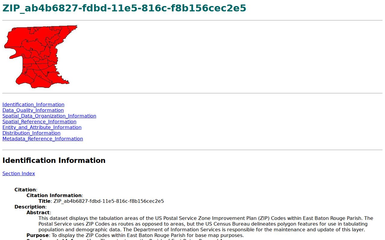
The source explains both the usefulness and limit of the East Baton Rouge Parish ZIP code directory: it maps area features, while USPS controls delivery formatting and routes.
The corresponding EBRGIS ZIP map service exposes the live layer used for map queries.
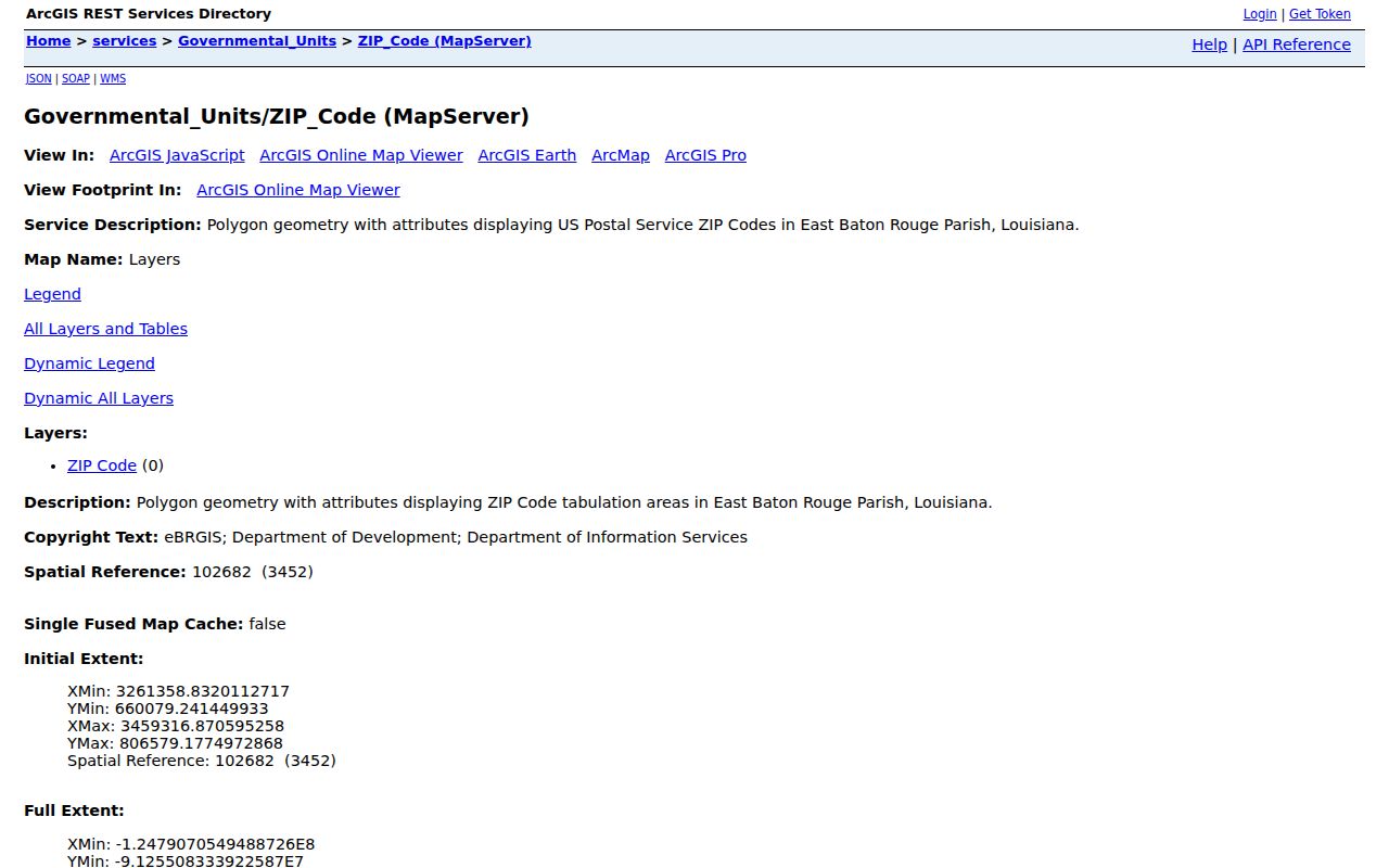
The service is the proper source for polygon geometry, rather than a hand-drawn neighborhood map.
Baker Central and Zachary ZIPs
Baker, Central, and Zachary appear as useful postal descriptions, but each also has a municipal context. The city-limit layer maps Baker, Baton Rouge, Central, and Zachary. A separate annexation layer records changes by Baker, Central, Zachary, and Saint George from incorporation forward. A ZIP label and a city boundary therefore answer different questions.
For a Zachary address, the city's official public links offer a municipal request route.
The municipal source matters after the ZIP code directory narrows the area but before a request is sent to an office.
Find East Baton Rouge Residents by ZIP
A ZIP code is a starting filter. USPS can normalize delivery format. EBRGIS can show a polygon and the address point. City-Parish jurisdiction lookup separates a mailing city from the governing municipality. SmartCAMA then connects a standardized physical address to assessment and parcel facts. The Clerk index supplies the recorded legal document when that is the research goal.
- Enter the full street, city, and state in the USPS ZIP Lookup and save the standardized form.
- Query the EBRGIS ZIP polygon, city-limit layer, and address point for the same site.
- Open the City-Parish property lookup or SmartCAMA for parcel and assessment context.
- Use ZIP only as one allowed field in the Louisiana voter route, never as a complete population list.
- Move to a street or parcel search once the geographic area is confirmed.
Once a ZIP narrows to a named road, the East Baton Rouge Parish street directory carries the search down to the address and parcel level. Keep the source label on each fact so postal, map, tax, and deed evidence do not blur together.
ZIP Fields in Parish Records
Official systems use ZIP in different ways. The USPS tool accepts address plus city and state, city and state alone, or ZIP. SmartCAMA focuses on assessment number, owner or business, physical address, subdivision, lot, and block rather than offering a general resident-by-ZIP list. The voter name route accepts ZIP with name and birth month and year. Its separate address route accepts ZIP, address, apartment or lot, and city.
| Official Tool | ZIP-Related Input | Result Use |
|---|---|---|
| USPS ZIP Lookup | Address, city/state, or ZIP | Standard delivery format |
| EBRGIS ZIP service | Polygon attribute or map query | Mapped parish overlap |
| Voter name route | Name, ZIP, birth month/year | Possible registration match |
| Voter address route | ZIP, address, unit, city | Address-based election lookup |
| SmartCAMA | Physical address and parcel fields | Assessment context after ZIP check |
The Louisiana voter address route shows the address fields.
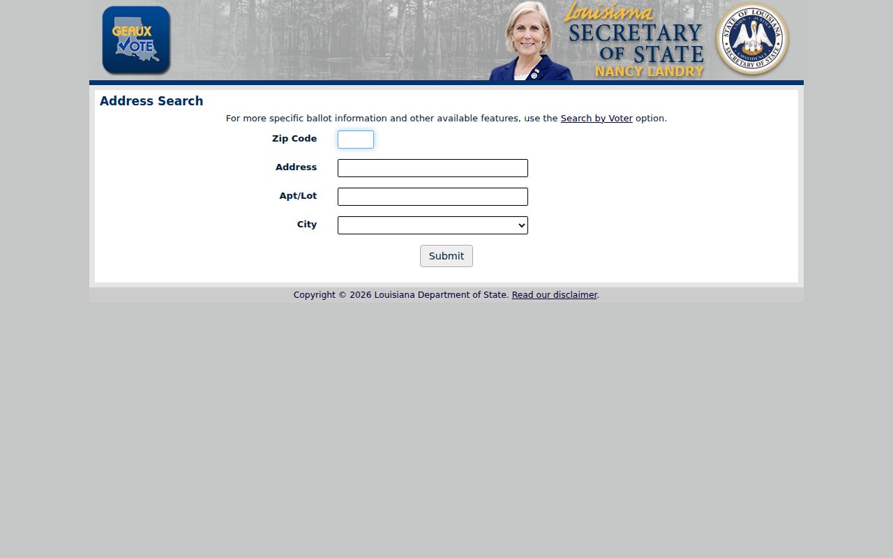
The state warns that voter and address records are not linked, so the form cannot be used as an address-to-person crosswalk.
East Baton Rouge Postal Labels
Baton Rouge appears on most 708-series descriptions, but the layer also preserves Baker, Central, Zachary, Greenwell Springs, Pride, and other community labels. Those names are useful variants when a current mailing address, older directory, deed, or archive catalog seems inconsistent. Search both the current standardized address and the historical place name, then state which source supplied each label.
A postal label does not define a census tract, neighborhood, ward, precinct, school area, tax district, court district, city, or parish. Overlay the matching official layer. The parish covers 455.5 square miles and includes a dense urban core plus distinct municipalities and unincorporated places, so geographic shortcuts can easily send a records request to the wrong custodian.
Note: A ZIP result helps route research, but it cannot identify every resident or prove that a named person occupies an address.
Update a Louisiana ZIP Address
A move or postal correction may leave records on different update cycles. USPS standardization addresses delivery format. The voter file changes through the Secretary of State and parish Registrar process. Assessment mailing details belong with the Assessor, while deed ownership changes require a recorded instrument through the Clerk. Correct each source with its custodian rather than assuming one update flows to all systems.
The official Louisiana voter update page explains address confirmation, inactive status, and correction routes.
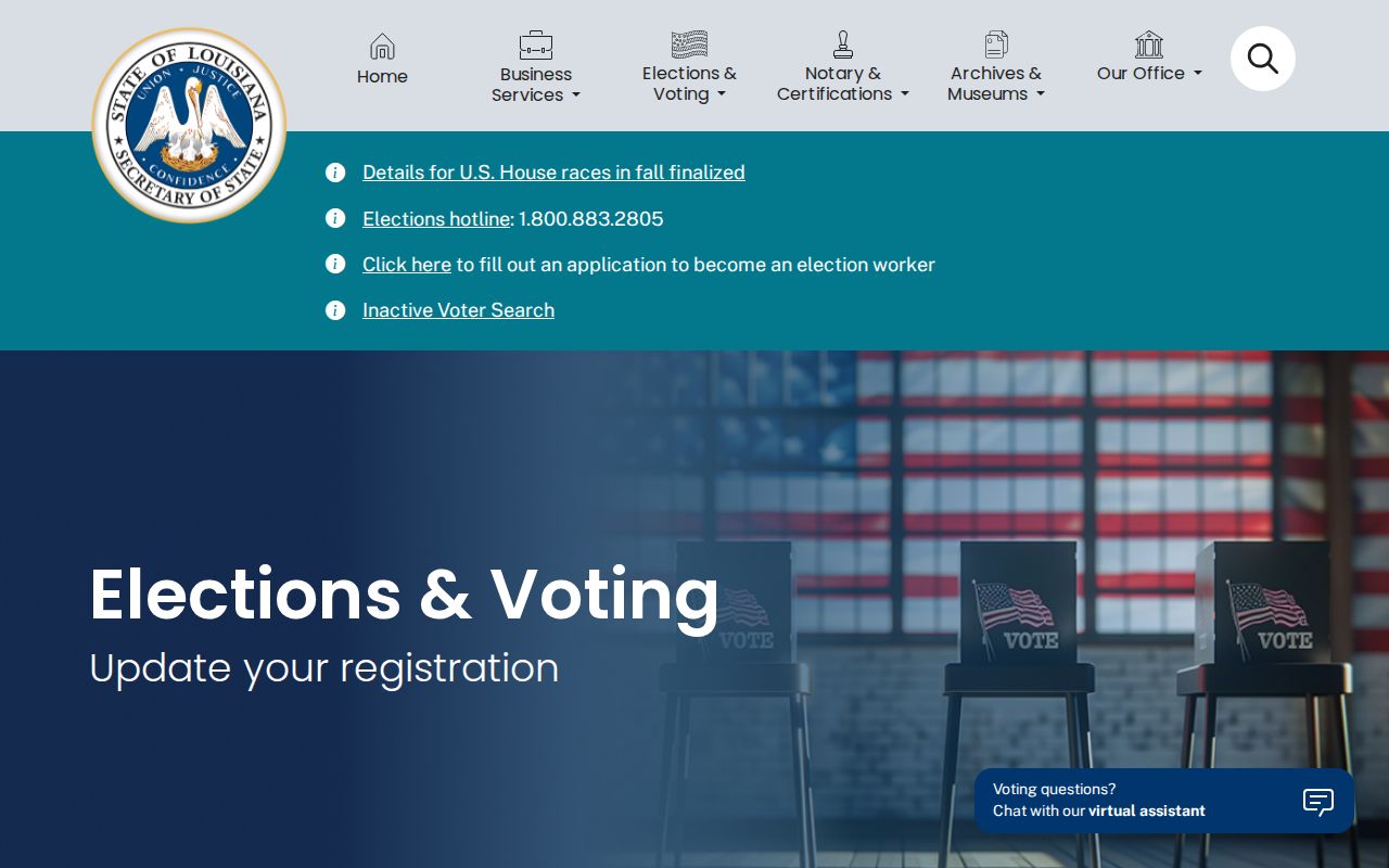
The page shows why a stale registration ZIP should be corrected through election officials, not treated as current residence by a directory search.
East Baton Rouge ZIPs vs City Limits
ZIP boundaries and municipal borders are maintained for different purposes. EBRGIS maps city limits for Baker, Baton Rouge, Central, and Zachary, while the postal layer maps its 27 best-available area polygons. Annexation can change municipal jurisdiction without producing the same change in a postal label. Always run the jurisdiction lookup before choosing a city or parish office.
- ZIP vs ZIP+4
- A five-digit delivery area versus a more precise delivery segment.
- PO-box ZIP
- A code used for post-office-box delivery rather than a mapped home area.
- Unique ZIP
- A code assigned for one large organization or destination.
- Carrier route
- The delivery path used by a postal carrier, not the parish GIS polygon.
The practical flow is simple: postal format, ZIP polygon, city limit, address point, parcel, then the record custodian. Skipping the middle layers can confuse a Baton Rouge mailing label with Baton Rouge government jurisdiction.
Keep ZIP Evidence Reproducible
A mapped conclusion should be easy to repeat. Save the five-digit code, official layer description, geometry or address query, service URL, query date, and map-layer date. Then preserve the USPS standardized address separately. If the city-limit layer, parcel card, or an older directory uses another place name, record that conflict rather than replacing one label with another.
Property research needs more than postal geography. SmartCAMA can provide the physical address, mailing address, assessment number, subdivision, lot, block, legal fields, transfers, tax items, parcels, and taxes. The Clerk's recorded document supplies named parties, an Original or Bundle number, date and time stamp, and the legal instrument. A ZIP code directory narrows the field, but the parcel and instrument create the evidence trail.
Voter research needs equal care. ZIP is one input under Louisiana's public-field rules, not permission to map individuals. Save the search route and access date, distinguish active from inactive status, and send correction questions to the East Baton Rouge Registrar. Purchased voter files follow state criteria, fees, output, and protected-field limits. They are not a shortcut around the portal disclaimer.
Boundary check. When a postal city and municipal layer disagree, use the ZIP for mail and the official jurisdiction layer to choose the records office.