
East Baton Rouge Neighbor Sources
No official roll is a complete roster of people on a block. EBRGIS establishes the shapes and addresses. SmartCAMA adds assessment and transfer fields. The Neighborhood Registry identifies public organizations, while Open Neighborhood BR maps dated government activity. Each answers a different question and carries a different limit.
| Official source | What it reveals about a block | Access route |
|---|---|---|
| EBRGIS Tax Parcel service | Parcel polygons, nearby geometry, map identifiers | Free web service and map gallery |
| SmartCAMA assessment search | Tax owner, physical and mailing address, lot and block | Free public search |
| Neighborhood Registry | Mapped organization boundary and public contact | Free map and list |
| Open Neighborhood BR | Dated permits, 311, traffic, and incident activity | Address and date-range map |
| Voter records | Lawfully released registration fields | State portal or custodian request |
An owner can live elsewhere, and a renter may never appear in the assessment. Start with geography. Use names only where an official record directly supplies them, and do not infer a household from a parcel boundary.
Map East Baton Rouge Parish Neighbors
The EBRGIS Tax Parcel service can identify polygons that touch or sit near one target parcel. A parcel is a mapped tract for tax and land-record work. It is not a person. The service is a spatial index, and its no-warranty data do not replace a survey or recorded deed.
This successful image capture shows the official tax-parcel geometry service.
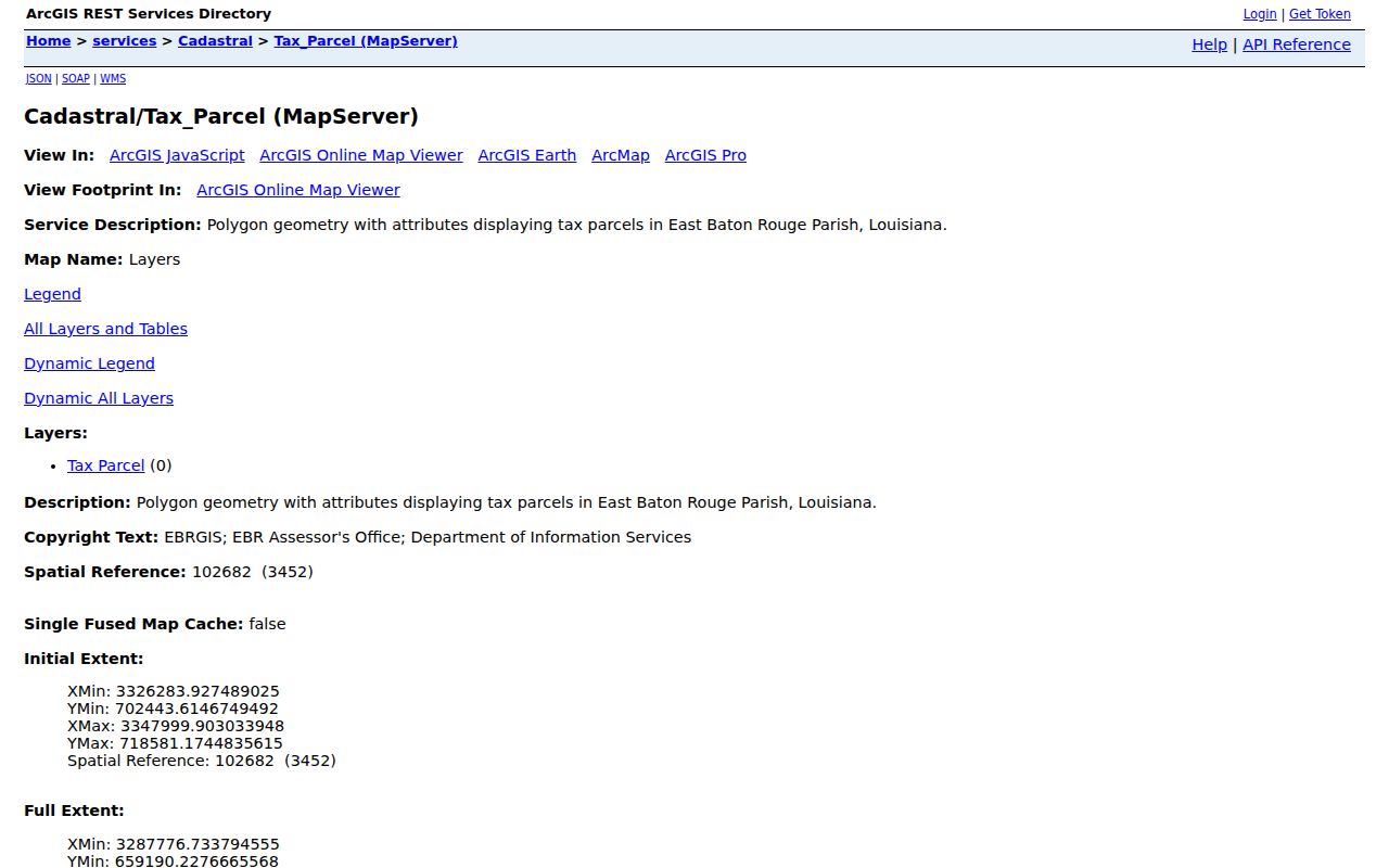
The geometry supplies the parcel IDs needed for a controlled walk around the immediate block.
- Standardize the street number and name in the City-Parish property lookup.
- Open the target parcel and record its mapping and assessment numbers.
- Select each touching or nearby polygon and save its parcel identifier, lot, block, and subdivision.
- Check each identifier in SmartCAMA, keeping the tax owner distinct from any claim about occupancy.
- Expand to a whole named road only when needed; the East Baton Rouge street directory owns that longer workflow.
Owners Are Not Always Neighbors
SmartCAMA exposes physical and mailing addresses separately. It also shows ownership fractions, a homestead field, transfers, legal descriptions, and assessment dates. Those facts can suggest an owner-occupied parcel, but they do not establish every person living there. A homestead field is part of tax administration, not a public household census.
Capture the tax-roll year, query date, assessment number, physical address, owner field as displayed, ownership share, and parcel mapping number. Then use the Clerk's conveyance record if the research question needs title evidence. Recent deeds and assessment records can update on different schedules.
| Official record | Reliable conclusion | Conclusion to avoid |
|---|---|---|
| Parcel polygon | Mapped land boundary | Every resident inside it |
| Assessment owner | Dated tax relationship | Current occupant list |
| Mailing address | Tax correspondence destination | Owner's home address |
| Association boundary | Mapped service or civic area | Private membership roster |
East Baton Rouge Civic Neighbors
The City-Parish Neighborhood Registry lists more than 400 neighborhood-based organizations and explains how to turn on its map layer and click a boundary. It is the right route for a public association name or contact. It is not a list of residents or dues-paying members.
The Federation of Greater Baton Rouge Civic Associations reports 116 member associations representing more than 75,000 homeowners.
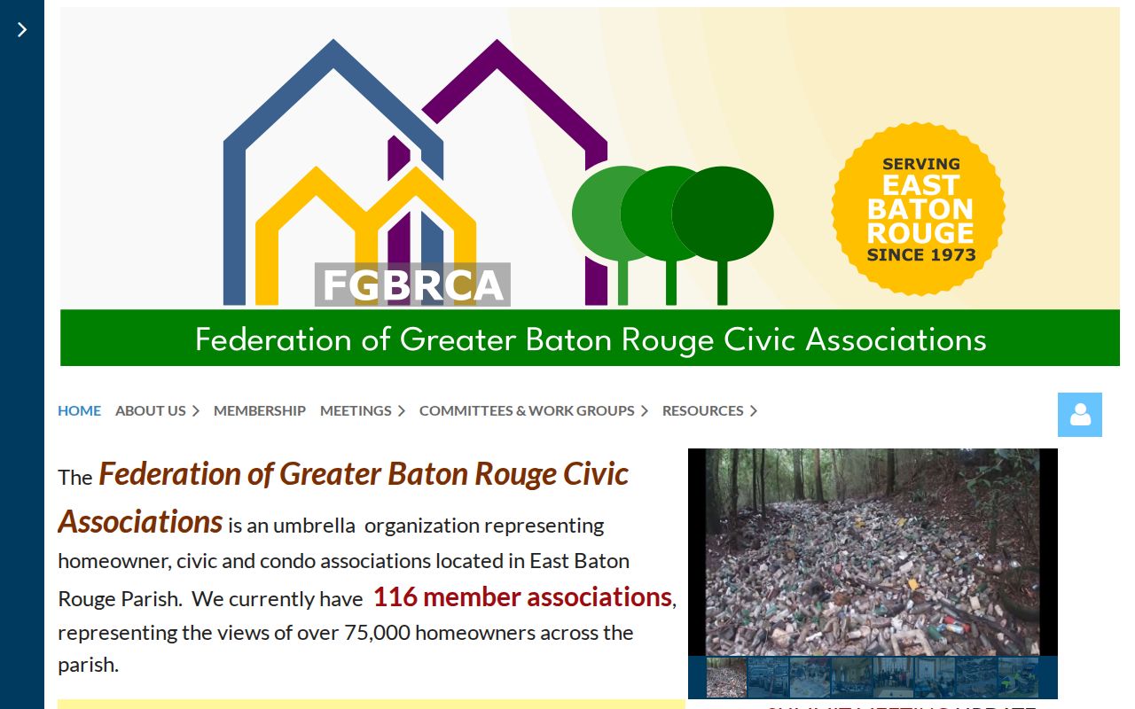
The federation offers a community-level route to public resources while leaving household and private board data alone.
Neighborhood Registry
Use the official mapped outline and published contact for a block's neighborhood organization.
Civic Federation
Use the umbrella group's public resources and association map for a broader connection.
Activity Around East Baton Rouge Neighbors
Open Neighborhood BR maps permits, 311 activity, traffic incidents, and crime incidents around an address. It supports date ranges plus neighborhood, ZIP, and Metro Council filters. Saved searches and alerts may require a free account.
The result is public activity, not a resident record. A permit may identify work at a site. A 311 point may show a service issue. Neither tells who lives there. Keep the event type, date span, dataset, map point, and access date with any note. For service follow-up, EBR 311 covers parish functions, while some issues in Baker, Zachary, Central, or St. George route through the relevant municipality.
Neighbor Blocks Cross Local Boundaries
A Baton Rouge mailing label does not always mean the parcel lies in Baton Rouge city limits. East Baton Rouge Parish includes Baker, Central, Zachary, Baton Rouge, and unincorporated areas, while St. George and annexation records add more context. Query the City-Parish jurisdiction tool with the street address before deciding which government office or civic group covers the block.
The municipal boundary metadata documents the official city-limit layer.
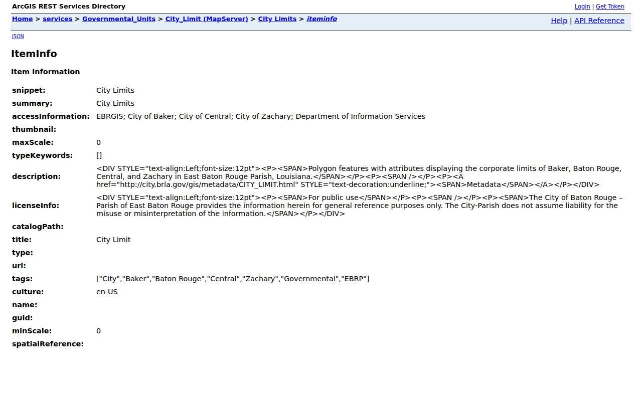
The boundary layer helps separate postal wording from government jurisdiction.
Other municipal annexation records are documented in the EBRGIS annexation metadata.
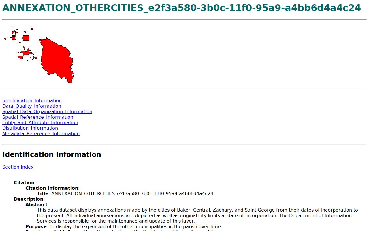
Date the annexation layer when an old record and a current boundary disagree.
Why East Baton Rouge Blocks Differ
Baton Rouge and parish government were consolidated under a plan adopted in 1947 and effective in 1949. The change responded to population growth outside the older city and expansion from about five to about thirty square miles. That history explains why one block can have a Baton Rouge postal identity, a parish service, and a separate municipal boundary clue.
The official City-Parish history provides the institutional account.
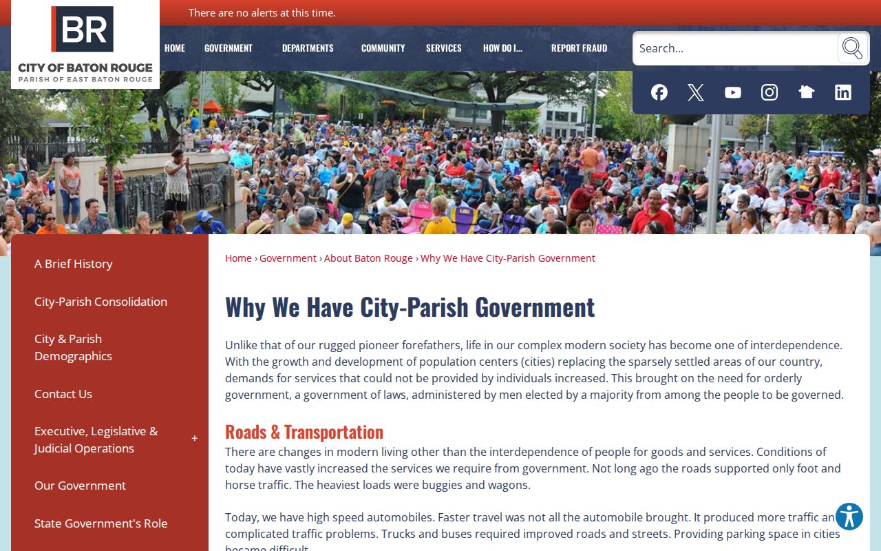
Use that context to understand records custody, not to infer anything about a household.
The City-Parish department directory is the direct route from a mapped issue to the responsible public office.
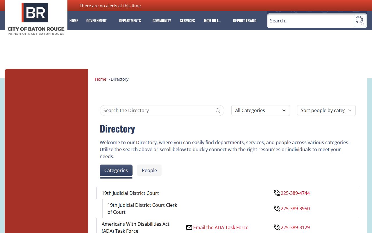
A department contact is often more useful than trying to attach a public service record to a private neighbor.
Voter Data Does Not Map Neighbors
The Louisiana Voter Portal offers separate name, parish, and address routes. Its disclaimer says voter records are not linked to address records, and address records are not linked to voters. The address route helps with polling and registration context, not a public address-to-person crosswalk.
Louisiana law restricts protected and sensitive voter fields, including Address Confidentiality Program information. Geographic coding also has statutory limits. A purchased file request must follow the Secretary of State's terms and current custodian process. Never combine another database with voter data to defeat a protection or turn a block into a map of individuals.
Note: An inactive registration is not the same as a canceled record or proof that a person moved from the block.
Official Records Versus Neighbor Tools
Commercial neighbor tools tend to merge old addresses, directory material, and vendor data into an undated profile. Official East Baton Rouge sources remain separate, which is useful because each source keeps its own date, purpose, and custodian. The official route usually takes more steps, but it makes uncertainty visible.
| Approach | Strength | Limit |
|---|---|---|
| Official GIS and assessment | Named source, parcel ID, tax year | Does not prove occupancy |
| Official civic registry | Public group and boundary | No private member list |
| Commercial category | Fast combined hints | Unknown updates and mixed identities |
Respect privacy. Use neighbor records for civic contact, block history, reconnection, or personal safety awareness. Never watch, intimidate, harass, or expose a private person.
Cite East Baton Rouge Neighbor Records
Save the standardized address, parcel and assessment numbers, GIS layer name, map update date, query date, and the exact public organization page. Describe an assessment owner as an assessment owner. Describe a civic boundary as a civic boundary. These small distinctions prevent a map from becoming an unsupported claim about people.
For a block citation, state how the nearby parcel was selected, such as touching the target polygon or appearing within a defined map view. Keep the date and scale. If the goal grows from the immediate block to a full corridor, change methods and document that new scope.